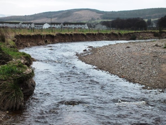
It was a stormy night last night and one of its consequences was an ongoing power cut at the office although now restored at my house. That means everything is paralysed of course so I took the opportunity have a look at the lower Rothes Burn. I was aware that the channel had changed course during the Big Bertha spate in August and I had heard comments about log jams so I decided to start at the confluence with the Spey and to cover the whole of the lower reaches below Rothes.
Looking towards the confluence with the Spey.
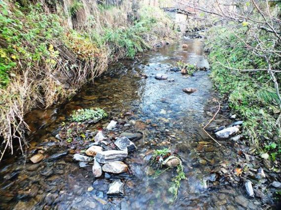
Upstrem view from the same location as the photo above. The Rothes Burn (named the Burn of Rothes on the OS map) used to flow down the infilled channel on the right. It now occupies a former channel on the left side of the photo.
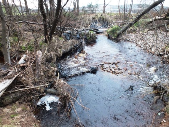
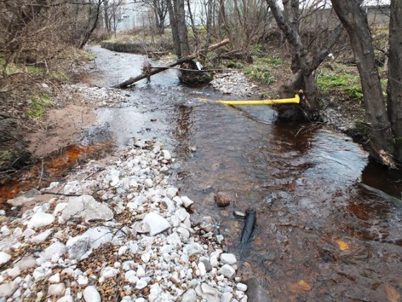
The burn had scoured out the old channel and in the process uncovering a recent farmers dump.In the summer this part of the Rothes Burn is a jungle of Japanese knotweed.
What a bleeding mess! It was obviously a fairly recent dump as it was full of silage bale wrap. I know from litter tidying up elsewhere that this stuff features prominently in agricultural areas. Thankfully it is rare to see it on riverbanks in Speyside.
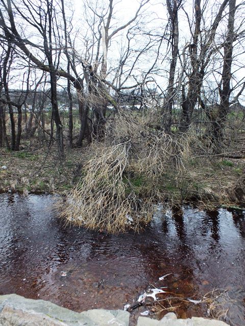
It is rare for a log jam to be a barrier to fish passage and I was pleased to see that these jams were easily passable by spawning fish. The recent pile of old wood in the background suggests that the agricultural tip is still used as such.
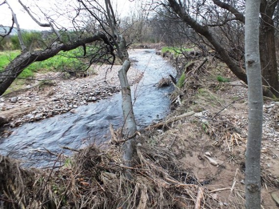
Upstream, thankfully, the burn was bit tidier with the new channel well established.
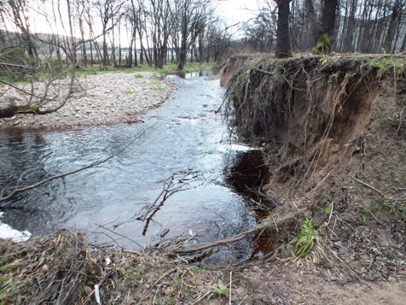
A short distance upstream there was a long eroding bank. The burn is cutting into the old flood plain through the soft friable alluvial substrate. This is one potential source of the sand and fine substrate that was present at the Spey confluence
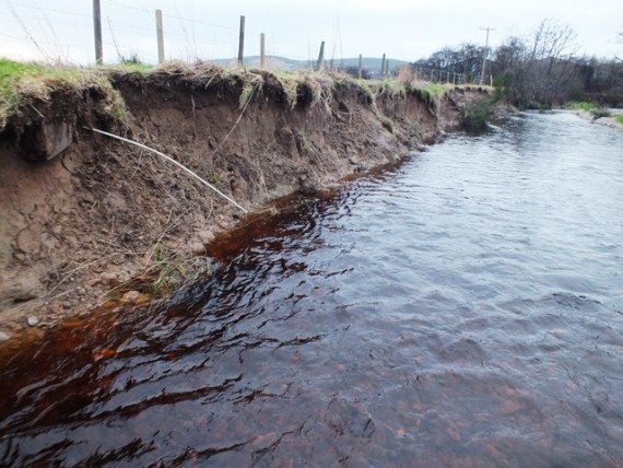
This type of eroding bank in agricultural land is not common on the Spey. Many Trusts have spent a lot of time tackling erosion such as this. This particular bank is eroding rapidly and it may be worth considering some “green engineering” to try and stabilise the situation, which would benefit the farmer greatly…..
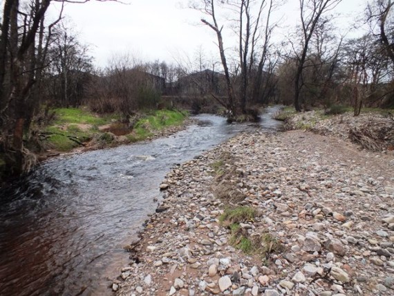
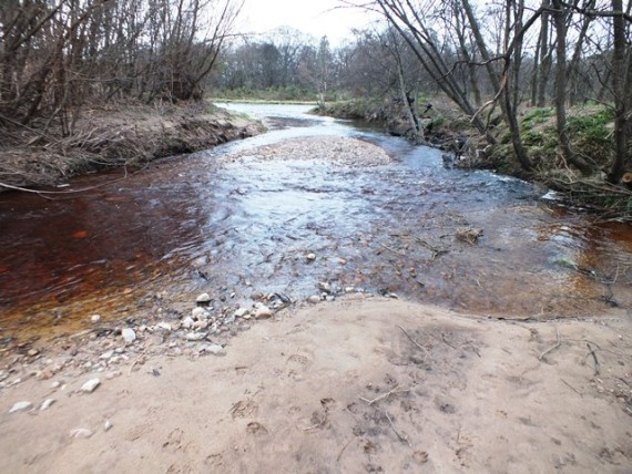
The Rothes Burn is joined by two other spawning burns between the village and the Spey. This photo shows the Broad Burn confluence. the Broad Burn is used by spawning salmon and trout as far upstream as the soon to be eased fish barrier at a distillery.
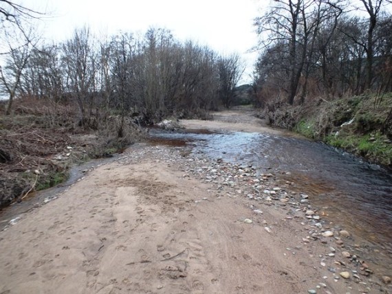
The lower Broad burn is an excellent spawning burn with an abundance of suitable gravel.
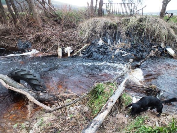
You wouldn’t need to be a forensic scientist to track down some of the litter and debris present in the Rothes Burn and tributaries. There were several lengths of plastic gas pipe offcuts and sheets of black corrugated plastic!
.
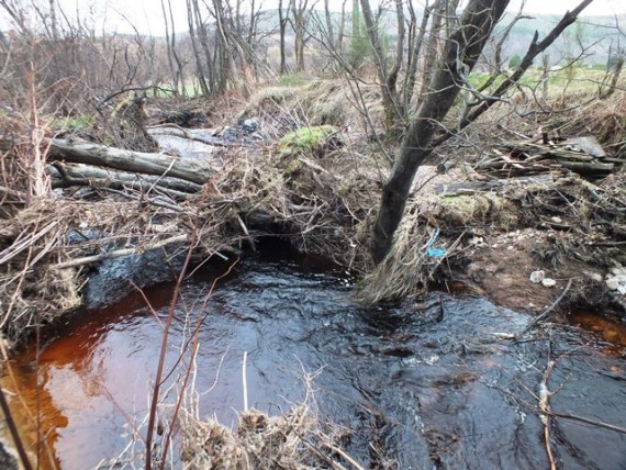
Back to the Rothes Burn again where there was more evidence of active erosion with this high sandy bank. In the spring/summer this ground here is covered with white butterbur, another invasive plant.
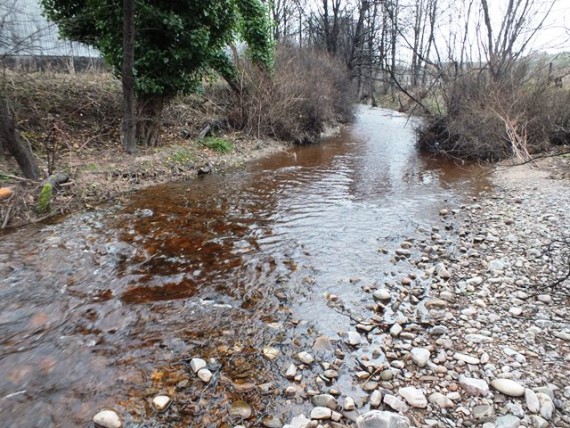
The Back Burn confluence with the Rothes Burn. This burn experiences a thermal uplift with cooling water discharges from the distillers and associated industries.
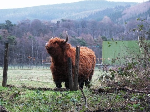
Cattle often have favourite places for easing an itch. This fence and post was obviously one of these places.
Another casualty from last night, a cracked limb from a willow - a nice bit of fish cover.
What a litany of issues this post has drawn attention to: invasives, siltation, erosion, litter, thermal pollution, log jams - I wouldn’t blame anyone for thinking there wouldn’t be any fish in the Rothes Burn. But there are, despite these apparent problems it usually supports a good juvenile fish population. To compound these issues there was a pollution incident in the burn this summer that killed all the fish over a 800m length so it doesn’t have its problems to seek.
A couple redd counts this autumn/winter failed to record any redds although it was a difficult redd counting season with frequent high, and coloured, water making identificaton difficult. Despite this I would be surprised if there is not a good population of trout and salmon fry in the Rothes Burns this summer. To test the health of the salmon population I have a rule; one of my own creation I think, or at least I’ve never heard anyone else daft enough to use it. The rule; lets call it the “Shaw Salmon 10 second rule” states that in suitable habitat in a healthy salmon river you will catch a salmon fry or parr within 10 seconds whilst electrofishing. This rule is rarely broken in the Spey catchment, unless in the margins of salmon access or above Spey Dam and I doubt it will be broken in the Rothes Burn below the main road in 2015.
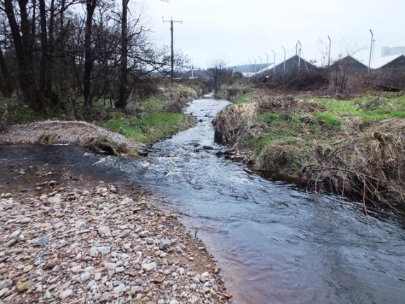
At the risk of incurring the wrath of the many fine Rothesians the village of Rothes lacks much of the charm of most other Speyside towns and villages. There are no airs and graces about Rothes; it is as close to an industrial town as we get in Speyside and the impacts of this can be seen in its burn. With such a high levels of industry and habitation on the banks of the burn some impact is to be expected, a little bit of attention and the Rothes Burn could look a lot better.
Spey Fishery Board